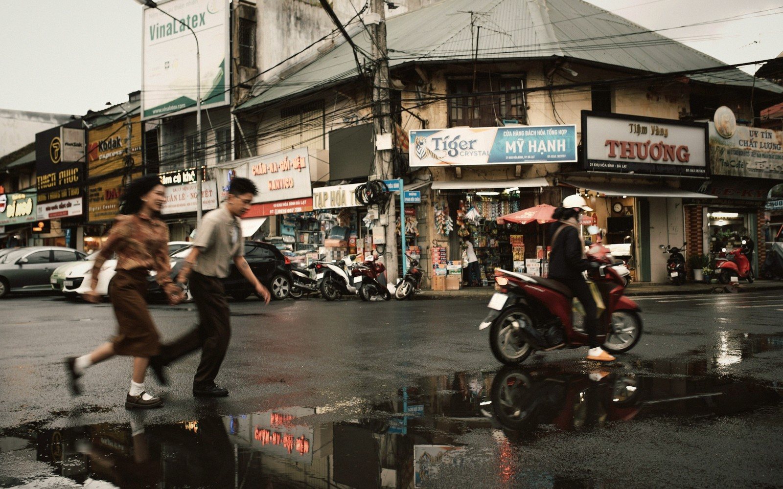
Section 01The Mechanics Behind the Season
The word itself comes from the Arabic mawsim, meaning season, and the system it names is one of the most powerful weather patterns on earth. As the Asian landmass heats up through spring, it draws moisture-laden air inland from the Indian Ocean and the Bay of Bengal. When that air rises and cools, the rain falls — heavily, reliably, and on a schedule that has governed agriculture, festivals and travel across the continent for millennia.
What confuses travellers is the plural. The South Asian monsoon and the Southeast Asian monsoon are distinct systems, arriving at different times, moving in different directions, and affecting the same country in entirely opposite ways depending on which coast you're standing on. Add the reverse monsoon that drenches Sri Lanka's northeast while the rest of the island bakes, and the picture becomes complex enough to reward a little study before you book.
Section 02Reading the Systems, Region by Region
South Asia gets the most attention. The southwest monsoon reaches Kerala on India's southwestern tip around the start of June, then marches north and east, arriving in Mumbai within days and reaching Delhi and Kolkata by early July. It retreats in reverse order from September into October, leaving the northern plains dry and — briefly — beautifully clear. For travellers, this means the Himalayan foothills and the hill stations of the Western Ghats are dramatically alive during monsoon, waterfalls in full torrent, tea gardens an impossible green. Varanasi floods spectacularly; the Ganges ghats half submerge. Rajasthan stays comparatively manageable because the monsoon arrives weakened by the time it crosses the desert.
Nepal catches its rain from the same southwest system, with the heaviest falls from June through August. The high valleys — the ones that sit in the rain shadow north of the main Himalayan ridgeline — stay much drier. This is why the upper Mustang region and the Dolpo plateau are best walked precisely when the southern trails are too wet to be pleasant. Understanding the geography of what's in shadow and what isn't is the single most useful thing a trekker can know.
Southeast Asia splits neatly, and this is where the geography becomes most useful. Thailand's west coast (Phuket, Krabi) takes its monsoon from the southwest system, running roughly May to October. The east coast (Koh Samui, Koh Phangan) gets the northeast monsoon instead — its wet season falls from October into December. Travellers who don't know this discover that hopping between the two coasts mid-trip changes the weather entirely. Chiang Mai in the north has a shorter, more concentrated wet season peaking in August and September; it remains a reasonable base for the shoulder months on either side.
Vietnam runs on a coast-dependent logic that surprises almost everyone. Hanoi and the north are wettest in summer; Hoi An and the central coast see their heaviest rain in October and November — which is precisely when the north is at its loveliest. The extreme south, around the Mekong Delta, is wet from May to November. There is, in short, no single bad month for Vietnam as a whole, because the country is long enough to straddle its own seasons.
Laos follows roughly the same southwest rhythm as northern Thailand and Cambodia. The overland routes through the Mekong corridor are practical year-round, but certain river crossings slow, roads turn muddy in the hills, and guesthouses in remote areas occasionally close between July and September when access becomes genuinely difficult.
East Asia operates by a different system altogether. Japan's tsuyu — literally "plum rain" — is a distinct rainy front that moves northeast across Honshu in June and early July before breaking into summer heat. Kyoto and Tokyo both get grey, humid weeks during this period, but temples and gardens in the rain have their own appeal, crowds thin out, and accommodation becomes easier to find. The true weather hazard in Japan is typhoon season, which runs from late summer into October — less predictable, more disruptive.
Nepal catches its rain from the same southwest system, with the heaviest falls from June through August.
- Late May, Sri Lanka’s westThe southwest system reaches the island first; the west and south coasts turn wet while the east stays dry.
- First week of June, KeralaOnset on India’s southwestern tip — the date the whole subcontinent watches.
- Mid-June, Mumbai and the eastThe front works north and east across the country over roughly six weeks.
- Late June to early July, the plainsDelhi and the Gangetic plain get theirs; Nepal is already in its heaviest weeks.
- July, northern PakistanThe system arrives weakly at the far end of its reach.
- October and November, the Bay of Bengal coastThe second, northeast monsoon soaks Tamil Nadu and eastern Sri Lanka while the rest of the region dries out.
Section 03Travelling With the Rain, Not Against It
The practical upshot is simple: the monsoon is not a wall to avoid but a variable to understand. Prices drop during peak rain months across much of South and Southeast Asia; guesthouses are half-empty; locals are less wearied by tourists. The landscape is at its richest precisely when skies are heaviest. Yes, an afternoon in Luang Prabang will end with a downpour. It will also start with mist over the Mekong and end with washed-clean air and a sky that glows.
The genuine risks are specific: mountain roads that close, rivers that flood beyond safe crossing, coastal destinations that become genuinely battered by sustained storms. These are worth researching for specific regions, specific months. But the broad instinct to flee Asian destinations between June and September is a reflex worth interrogating — it is often simply wrong, and always worth nuancing.
A traveller who can read a monsoon map has access to a different Asia than one who cannot.